

I love travel surprises.
Originally, our plan after leaving Lake Powell was to drive to Moab, Utah but there was not a campsite available there on the dates we wanted. We reverted to Plan B and searched for a campsite halfway between Page, AZ and Moab. RV Trip Wizard, the app we use for route planning, led us to Blanding, Utah, a place unfamiliar to me. After reading some favorable reviews, I took a chance and booked Blue Mountain RV Park for two nights, not expecting much more than a place to park Lucy for two nights until we could leave for Moab. Fortunately, my expectations were way off the mark.

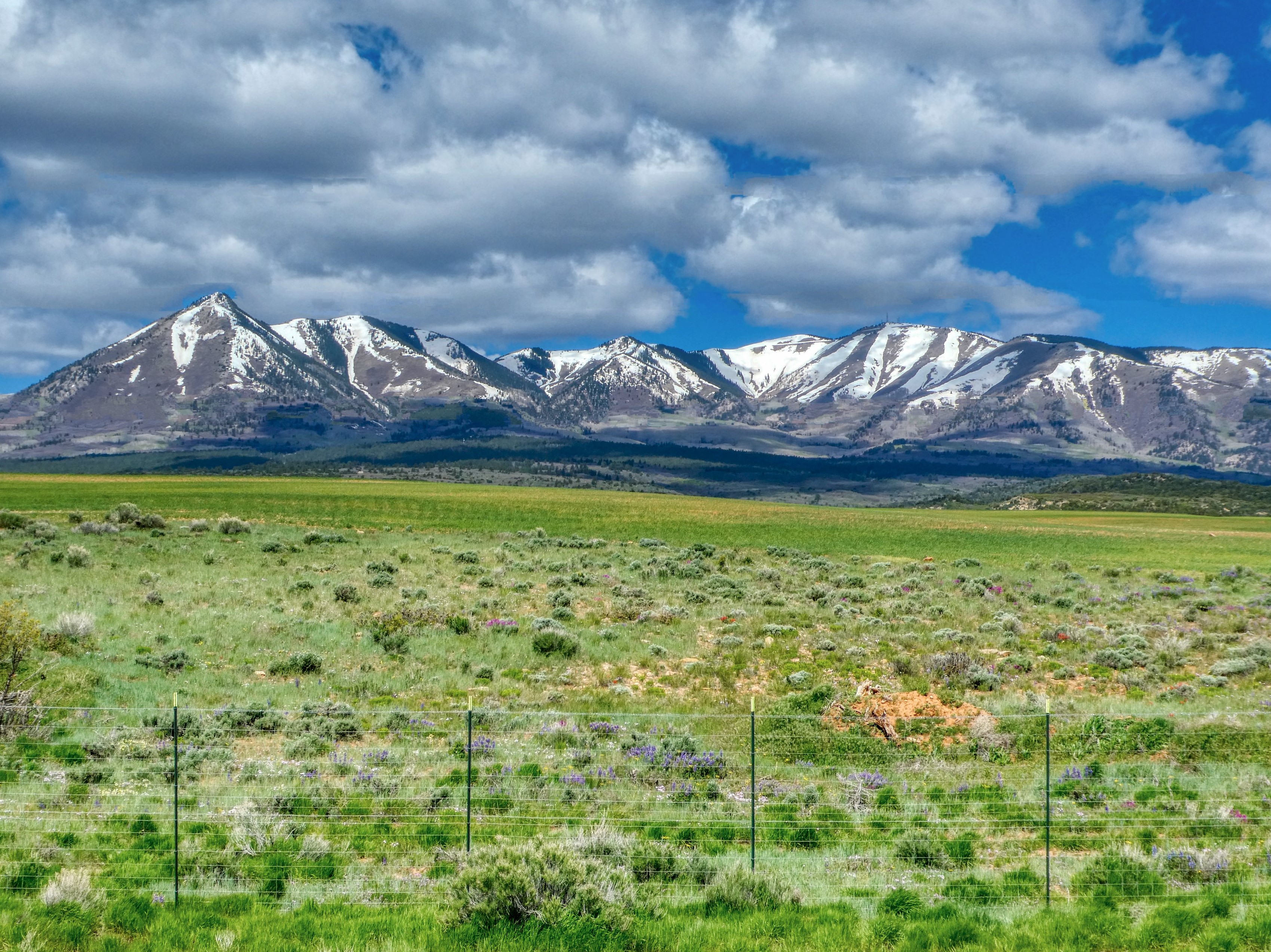
Blanding, Utah is a small town (pop. 3,300), about 35 miles west of the border with Colorado as the crow flies. As depicted in the image below, there is not much there which only adds to the charm. We checked into the RV Park, a very clean and perfectly landscaped campground with a stunning view of the mountains to the north. Our new home was turning out to be a very pleasant surprise. I love it when that happens. The weather was cold with snow in the area (elevation 6,100 ft), so we made a quick trip to a nearby supermarket for a few dinner items and settled in for the night.

The next day we made use of the laundry facility at the campground where Helen met a nice couple that gave her some great information about what to do in the area. This couple, residents of Missouri, told her that they had been hiking in the area for many years, but that things had changed a lot since Blanding had been “discovered”. At one time, she said, they could hike for days and never see a soul, but that things were different now. Things still looked pretty sparse to me, but I had only been here for about 10 hours.

Acting on information from our new friends, Helen did some research and learned that Natural Bridges National Monument, another place I had never heard of, was a short distance to the west. We finished our laundry and moved out.

The forty-five-minute drive to the National Monument was delightful. Rock formations lined both sides of the highway and the wildflowers were out in abundance. About 10 miles into the drive, a wide curve in the road took us through a long, sweeping canyon bordered by high rock walls. Before we crossed a ridge, I stopped to take a picture of the canyon. The road we were on appears as a strip across the middle of the rock wall.
We made it to the Visitor Center of the National Monument and presented our National Park Senior Pass to the two Park Rangers behind the desk. There were only two other visitors in the Center so one of the Rangers had plenty of time to give us information on the Park and the three Natural Bridges that are the main attraction. Loaded with an abundance of information, we began our self-guided driving tour of the Park.

A natural bridge is a rock formation that takes the shape of a bridge when water erodes the center portions of the rock over millions of years. Ultimately, the entire rock formation will collapse because the erosion continues, but, for now, the Natural Bridges are awesome and fascinating structures. The three structures in the National Monument are named Sipapu, Kachina, and Owachomo.
Below, I have posted a picture and a few words about each bridge in the Monument. We could have hiked to each one, but we only had one afternoon to visit so, I took the pictures from overlooks along the road. The distance to the bridges may make them a bit hard to see. I tried to place the bridge in the center of each photo and you can click on each picture to enlarge them.
Sipapu

The first of the natural bridges on the driving tour is the largest in the Monument and the second largest in the United States. This natural bridge spans 268 feet and is believed to be the second oldest of the three. The name Sipapu means “Place of Emergence” as members of the Hopi Tribe believed that this bridge was an entryway for their ancestors to come into the world.
Kachina

This bridge spans 204 feet. The name comes from the rock art on the bridge that resembles Kachina dolls, wooden dolls carved by the Hopi that represent ancient spirits.
Owachomo

The last bridge on tour takes its name from the rock mound on the east end of the abutment. It is the oldest, smallest, and thinnest of the three bridges. Owachomo spans 106 feet and is only nine feet thick. This bridge is also the most photographed bridge in the Park.

Although we only had one day in Blanding, we felt we made the most of it. A casual conversation in the laundry room turned into one more great day on our Lucy Does the Desert road trip. We were lucky, but sometimes, it’s better to be lucky than good. It’s time to be Easin’ Along. We say goodbye Blanding. Thanks for all the surprises.

The first two bridges are obvious, but I couldn’t make out the third. Thanks for posting the close-up. It is nice that you have the flexibility to reroute and stumble onto a pleasant surprise.
Hi, Suzanne,
Photographing those bridges was challenging from that distance. I could have zoomed in, but I wanted the background in the picture. Thankfully, the National Park had a closeup I could share. And, flexibility is a must in RVing. Thanks for checking in.